爱尔兰的山
Ben of Howth
171 米561 英尺
山 · 爱尔兰
The Ben of Howth is a hilly area on Howth Head, adjacent to the 171 metre high Black Linn, the peninsula's highest point.
来自Wikipedia,CC BY-SA · 阅读文章
山顶 · 22:00 的预报
10 °C多云 · 西南风 13 km/h
 3D 查看
Ben of Howth山顶天气,171 米
- 22:0010 °C西南 13 km/h–
- 1:009 °C西南 13 km/h–
- 4:0010 °C南 12 km/h–
- 7:0010 °C南 17 km/h–
- 10:0012 °C南 20 km/h–
- 13:0013 °C南 28 km/h–
- 16:0013 °C南 27 km/h–
- 19:0012 °C南 27 km/h–
| 日期 | 天气 | 最高 / 最低 | 雨 | 最大风速 |
|---|---|---|---|---|
| 10月29日周四 | 阴 | 14 °C / 9 °C | – | 29 km/h |
| 10月30日周五 | 多云 | 14 °C / 10 °C | – | 32 km/h |
| 10月31日周六 | 少云 | 12 °C / 7 °C | – | 17 km/h |
| 11月1日周日 | 阴 | 11 °C / 6 °C | 0.3 mm | 12 km/h |
| 11月2日周一 | 少云 | 11 °C / 9 °C | 0.2 mm | 15 km/h |
| 11月3日周二 | 阴 | 10 °C / 8 °C | – | 11 km/h |
| 11月4日周三 | 阴 | 11 °C / 7 °C | – | 11 km/h |
预报来自 MET Norway(CC BY 4.0),更新于 GMT 19:20。时间均为当地时间。
基本信息
Ben of Howth附近的山峰
- Shielmartin Hill163 米 · 0.9 公里外地图上
- Killiney Hill153 米 · 12 公里外地图上
- Three Rock448 米 · 18 公里外地图上
- Carrickgollogan276 米 · 18 公里外地图上
- Barnaslingan238 米 · 19 公里外地图上
- Kilmashogue408 米 · 19 公里外地图上
- 两石山 (爱尔兰)536 米 · 19 公里外地图上
- 布瑞岬241 米 · 20 公里外地图上
- Tibradden Mountain467 米 · 20 公里外地图上
- Montpelier Hill383 米 · 22 公里外地图上
爱尔兰最高的山
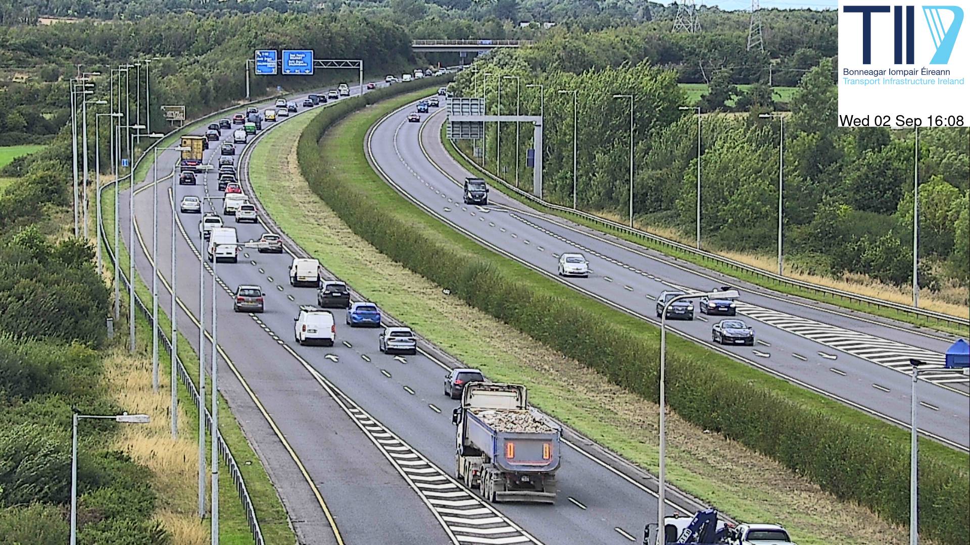
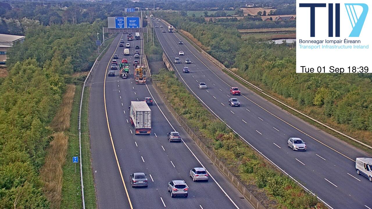
Ben of Howth附近的网络摄像头


Ben of Howth周边的历史
- Battle of Clontarf1014
- Battle of Islandbridge919
- 2023 Dublin riot2023
- March for a Better Way2010
- 2010 student protest in Dublin2010
- 2006 Dublin riots2006
- Katrina and the Waves win the Eurovision Song Contest with the song Love Shine a Light, the first time the UK has won the competition since 19811997
- Lansdowne Road football riot1995