Landslip Hill
342 م1,122 قدم
تل · نيوزيلندا
Landslip Hill is located on the boundary of Southland and Otago, in the South Island of New Zealand, between Tapanui and Pukerau. It is a debris flow feature associated with the Manuherikia Group of fluvial quartz sandstones.
من Wikipedia، CC BY-SA · اقرأ المقال
على القمة · توقعات الساعة 7:00 م
8 °Cصافٍ غالبًا · رياح 20 km/h من غربية
الطقس على قمة Landslip Hill، 342 م
- 7:00 م8 °Cغربية 20 km/h–
- 10:00 م6 °Cشمالية غربية 28 km/h–
- 1:00 ص5 °Cشمالية غربية 33 km/h–
- 4:00 ص6 °Cشمالية غربية 37 km/h–
- 7:00 ص7 °Cشمالية غربية 34 km/h–
- 10:00 ص9 °Cشمالية غربية 33 km/h–
- 1:00 م13 °Cشمالية غربية 44 km/h0.2 mm
- 4:00 م12 °Cشمالية غربية 46 km/h–
| التاريخ | حالة السماء | العظمى / الصغرى | مطر | الرياح حتى |
|---|---|---|---|---|
| الأربعاء، 28 أكتوبر | غائم جزئيًا | 13 °C / 5 °C | 8.4 mm | 49 km/h |
| الخميس، 29 أكتوبر | مطر خفيف | 8 °C / 3 °C | 9.5 mm | 36 km/h |
| الجمعة، 30 أكتوبر | مطر | 6 °C / 4 °C | 10.2 mm | 40 km/h |
| السبت، 31 أكتوبر | غائم | 13 °C / 2 °C | 0.7 mm | 29 km/h |
| الأحد، 1 نوفمبر | غائم | 16 °C / 7 °C | – | 19 km/h |
| الاثنين، 2 نوفمبر | مطر غزير | 14 °C / 10 °C | 10.1 mm | 25 km/h |
| الثلاثاء، 3 نوفمبر | غائم جزئيًا | 13 °C / 8 °C | 0.7 mm | 21 km/h |
التوقعات من MET Norway (CC BY 4.0)، آخر تحديث 02:17 م غرينتش+13. الأوقات بالتوقيت المحلي.
حقائق
- النوع
- تل
- الارتفاع عن سطح البحر
- 342 م (1,122 قدم)
- الدولة
- نيوزيلندا
- إحداثيات
- 46.069°S 169.159°E
- المصدر
- ويكي بيانات، CC0
Landslip Hill
Landslip Hill is located on the boundary of Southland and Otago, in the South Island of New Zealand, between Tapanui and Pukerau. It is a debris flow feature associated with the Manuherikia Group of fluvial quartz sandstones. Geologists have described the fossil-bearing rocks as forming part of a sequence of "siliclastic fluvial deltaic sands, conglomerates and silty clays".
من Wikipedia، CC BY-SA · اقرأ المقال
قمم قرب Landslip Hill
- Mount Pye720 م · على بعد 39 كمعلى الخريطة
- Lammerlaw Topجبل · على بعد 58 كمعلى الخريطة
أعلى الجبال في نيوزيلندا
- اوراكي - جبل كوك3,724 معلى الخريطة
- Mount Tasman3,497 معلى الخريطة
- Malte-Brun3,199 معلى الخريطة
- Mount Sefton3,151 معلى الخريطة
- Mount Elie De Beaumont3,109 معلى الخريطة
- La Perouse3,078 معلى الخريطة
- Douglas Peak3,077 معلى الخريطة
- The Minarets3,040 معلى الخريطة
- Mount Aspiring / Tititea3,033 معلى الخريطة
- Mount Hamilton3,025 معلى الخريطة
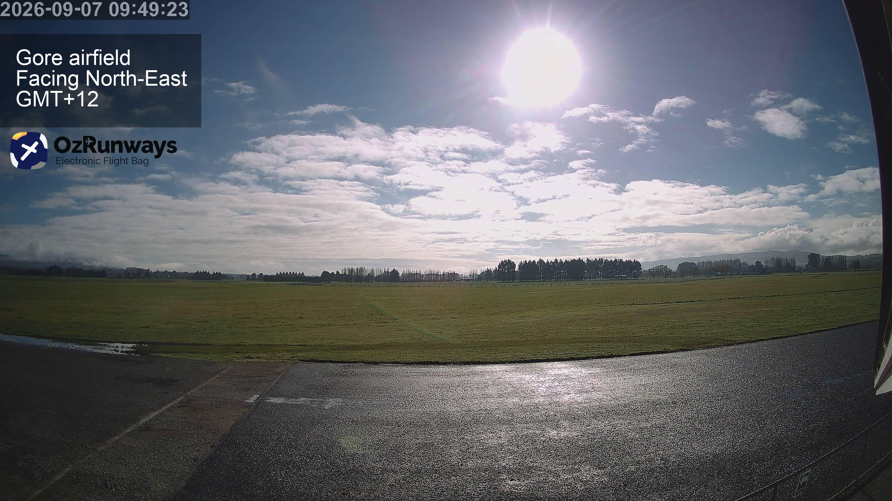
كاميرات ويب قرب Landslip Hill
مدن قرب Landslip Hill
- إنفركارجلعلى بعد 72 كم