Landslip Hill
342 m1,122 ft
丘 · ニュージーランド
Landslip Hill is located on the boundary of Southland and Otago, in the South Island of New Zealand, between Tapanui and Pukerau. It is a debris flow feature associated with the Manuherikia Group of fluvial quartz sandstones.
出典: Wikipedia、CC BY-SA · 記事を読む
山頂 · 10:00 の予報
9 °C晴れ時々曇り · 北西の風 36 km/h
Landslip Hill 山頂の天気(342 m)
- 10:009 °C北西 36 km/h–
- 13:0013 °C北西 44 km/h–
- 16:0012 °C北西 46 km/h–
- 19:0011 °C北西 39 km/h6.9 mm
- 22:006 °C西 36 km/h2.8 mm
- 1:006 °C西 25 km/h0.1 mm
- 4:004 °C西 27 km/h–
- 7:004 °C西 24 km/h0.5 mm
| 日付 | 天気 | 最高 / 最低 | 雨 | 最大風速 |
|---|---|---|---|---|
| 今日 | 晴れ時々曇り | 13 °C / 6 °C | 9 mm | 46 km/h |
| 10月29日(木) | 雨 | 7 °C / 3 °C | 9 mm | 37 km/h |
| 10月30日(金) | 雨 | 6 °C / 2 °C | 11.9 mm | 43 km/h |
| 10月31日(土) | 曇り | 12 °C / 2 °C | 0.4 mm | 30 km/h |
| 11月1日(日) | 晴れ時々曇り | 16 °C / 6 °C | – | 23 km/h |
| 11月2日(月) | 雨 | 14 °C / 9 °C | 7.4 mm | 28 km/h |
| 11月3日(火) | 曇り | 13 °C / 5 °C | 3 mm | 21 km/h |
MET Norway(CC BY 4.0)による予報。02:17 GMT+13 更新。時刻は現地時間です。
基本データ
- 種類
- 丘
- 標高
- 342 m (1,122 ft)
- 座標
- 46.069°S 169.159°E
Landslip Hill
Landslip Hill is located on the boundary of Southland and Otago, in the South Island of New Zealand, between Tapanui and Pukerau. It is a debris flow feature associated with the Manuherikia Group of fluvial quartz sandstones. Geologists have described the fossil-bearing rocks as forming part of a sequence of "siliclastic fluvial deltaic sands, conglomerates and silty clays".
出典: Wikipedia、CC BY-SA · 記事を読む
Landslip Hill周辺の山
- Mount Pye720 m · 39 km先地図上
- Lammerlaw Top山 · 58 km先地図上
ニュージーランドの高い山
- クック山3,724 m地図上
- タスマン山3,497 m地図上
- Malte-Brun3,199 m地図上
- Mount Sefton3,151 m地図上
- Mount Elie De Beaumont3,109 m地図上
- La Perouse3,078 m地図上
- Douglas Peak3,077 m地図上
- The Minarets3,040 m地図上
- アスパイアリング山3,033 m地図上
- Mount Hamilton3,025 m地図上
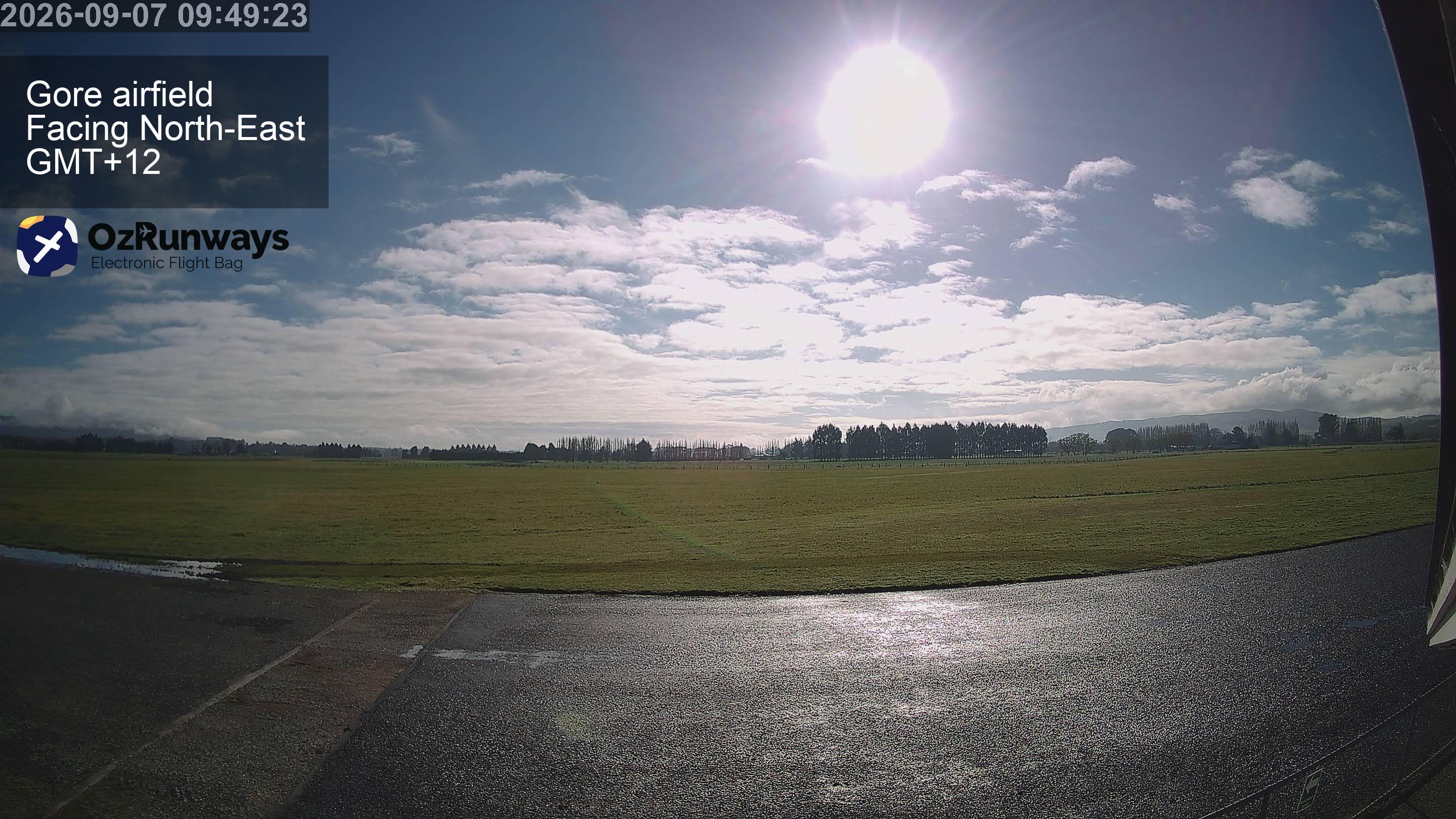
Landslip Hill周辺のライブカメラ
Landslip Hill周辺の町
- インヴァーカーギル72 km先