Landslip Hill
342 m1.122 ft
Hügel · Neuseeland
Landslip Hill is located on the boundary of Southland and Otago, in the South Island of New Zealand, between Tapanui and Pukerau. It is a debris flow feature associated with the Manuherikia Group of fluvial quartz sandstones.
Aus Wikipedia, CC BY-SA · Artikel lesen
Am Gipfel · Vorhersage für 18:00
8 °CTeilweise bewölkt · Wind 26 km/h aus W
Wetter auf dem Gipfel: Landslip Hill, 342 m
- 18:008 °CW 26 km/h–
- 21:006 °CW 24 km/h–
- 0:005 °CNW 32 km/h–
- 3:006 °CNW 36 km/h–
- 6:007 °CNW 34 km/h–
- 9:008 °CNW 36 km/h–
- 12:0012 °CNW 38 km/h0,2 mm
- 15:0013 °CNW 47 km/h–
| Tag | Himmel | Max. / Min. | Regen | Wind bis |
|---|---|---|---|---|
| Mi., 28. Okt. | Teilweise bewölkt | 13 °C / 5 °C | 8,4 mm | 49 km/h |
| Do., 29. Okt. | Leichter Regen | 8 °C / 3 °C | 9,5 mm | 36 km/h |
| Fr., 30. Okt. | Regen | 6 °C / 4 °C | 10,2 mm | 40 km/h |
| Sa., 31. Okt. | Bewölkt | 13 °C / 2 °C | 0,7 mm | 29 km/h |
| So., 1. Nov. | Bewölkt | 16 °C / 7 °C | – | 19 km/h |
| Mo., 2. Nov. | Starker Regen | 14 °C / 10 °C | 10,1 mm | 25 km/h |
| Di., 3. Nov. | Teilweise bewölkt | 13 °C / 8 °C | 0,7 mm | 21 km/h |
Vorhersage von MET Norway (CC BY 4.0), aktualisiert um 14:17 GMT+13. Zeiten in Ortszeit.
Fakten
- Art
- Hügel
- Höhe über dem Meer
- 342 m (1.122 ft)
- Land
- Neuseeland
- Koordinaten
- 46.069°S 169.159°E
- Quelle
- Wikidata, CC0
Landslip Hill
Landslip Hill is located on the boundary of Southland and Otago, in the South Island of New Zealand, between Tapanui and Pukerau. It is a debris flow feature associated with the Manuherikia Group of fluvial quartz sandstones. Geologists have described the fossil-bearing rocks as forming part of a sequence of "siliclastic fluvial deltaic sands, conglomerates and silty clays".
Aus Wikipedia, CC BY-SA · Artikel lesen
Gipfel nahe Landslip Hill
- Mount Pye720 m · 39 km entferntAuf der Karte
- Lammerlaw TopBerg · 58 km entferntAuf der Karte
Höchste Berge in Neuseeland
- Mount Cook3.724 mAuf der Karte
- Mount Tasman3.497 mAuf der Karte
- Malte Brun3.199 mAuf der Karte
- Mount Sefton3.151 mAuf der Karte
- Mount Elie de Beaumont3.109 mAuf der Karte
- Mount La Perouse3.078 mAuf der Karte
- Douglas Peak3.077 mAuf der Karte
- The Minarets3.040 mAuf der Karte
- Mount Aspiring3.033 mAuf der Karte
- Mount Hamilton3.025 mAuf der Karte
Webcams nahe Landslip Hill
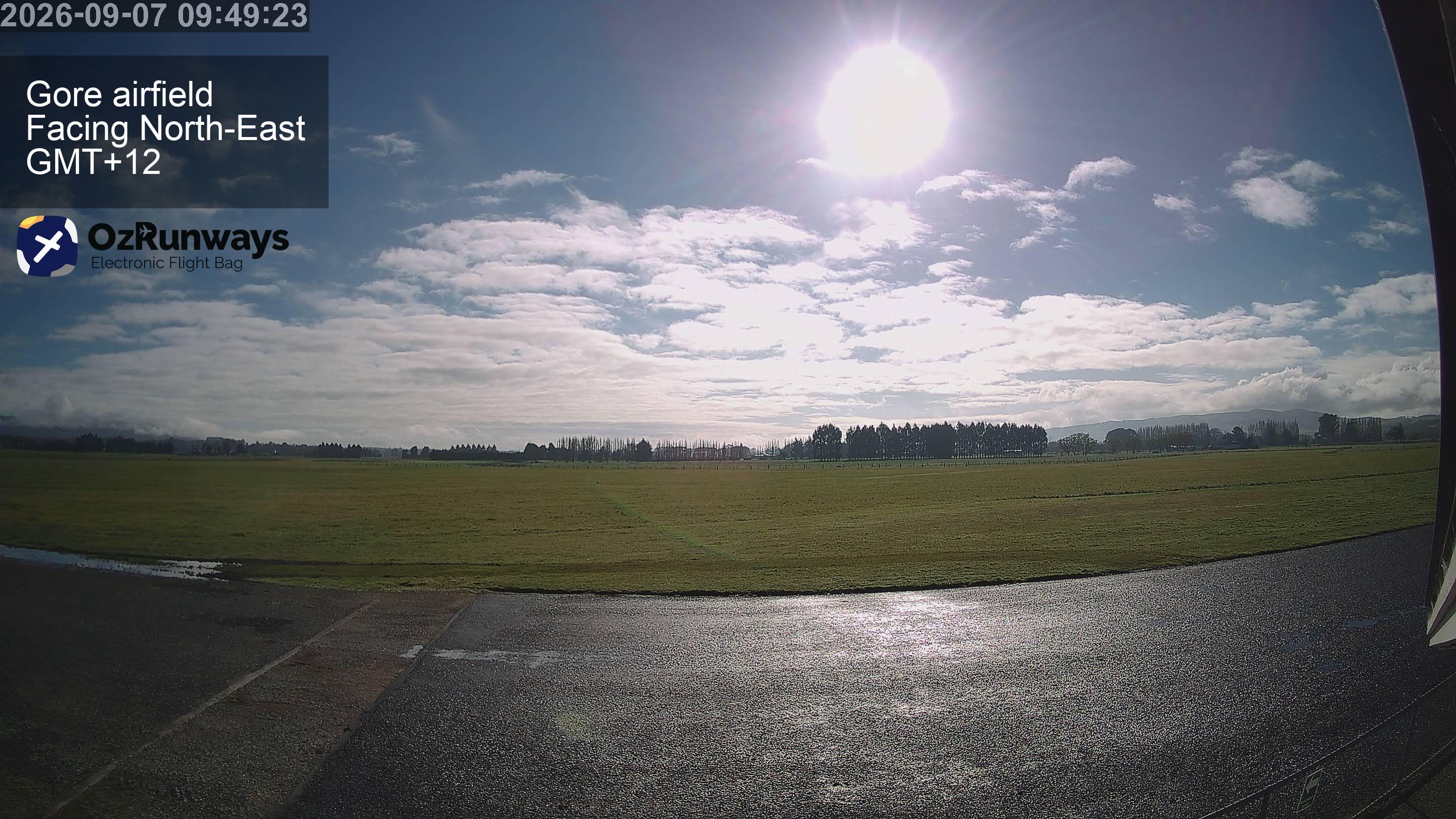
Orte nahe Landslip Hill
- Invercargill72 km entfernt