Landslip Hill
342 m1.122 pés
Colina · Nova Zelândia
Landslip Hill is located on the boundary of Southland and Otago, in the South Island of New Zealand, between Tapanui and Pukerau. It is a debris flow feature associated with the Manuherikia Group of fluvial quartz sandstones.
Da Wikipedia, CC BY-SA · Ler o artigo
No cume · previsão para 4:00
6 °CParcialmente nublado · vento de 36 km/h de NO
Clima no cume de Landslip Hill, 342 m
- 4:006 °CNO 36 km/h–
- 7:007 °CNO 33 km/h–
- 10:009 °CNO 37 km/h–
- 13:0013 °CNO 43 km/h–
- 16:0012 °CNO 45 km/h–
- 19:0011 °CNO 40 km/h6,8 mm
- 22:006 °CO 37 km/h2,7 mm
- 1:006 °CO 26 km/h0,8 mm
| Dia | Céu | Máx. / mín. | Chuva | Vento até |
|---|---|---|---|---|
| Hoje | Parcialmente nublado | 13 °C / 6 °C | 9,2 mm | 46 km/h |
| qui., 29 de out. | Chuva forte | 8 °C / 3 °C | 9,5 mm | 39 km/h |
| sex., 30 de out. | Chuva | 6 °C / 2 °C | 13 mm | 40 km/h |
| sáb., 31 de out. | Nublado | 13 °C / 2 °C | 0,7 mm | 29 km/h |
| dom., 1 de nov. | Nublado | 16 °C / 7 °C | – | 19 km/h |
| seg., 2 de nov. | Chuva forte | 14 °C / 10 °C | 10,1 mm | 25 km/h |
| ter., 3 de nov. | Parcialmente nublado | 13 °C / 8 °C | 0,7 mm | 21 km/h |
Previsão: MET Norway (CC BY 4.0), atualizada às 22:22 GMT+13. Horários locais.
Ficha técnica
- Tipo
- Colina
- Altitude acima do nível do mar
- 342 m (1.122 pés)
- País
- Nova Zelândia
- Coordenadas
- 46.069°S 169.159°E
- Fonte
- Wikidata, CC0
Landslip Hill
Landslip Hill is located on the boundary of Southland and Otago, in the South Island of New Zealand, between Tapanui and Pukerau. It is a debris flow feature associated with the Manuherikia Group of fluvial quartz sandstones. Geologists have described the fossil-bearing rocks as forming part of a sequence of "siliclastic fluvial deltaic sands, conglomerates and silty clays".
Da Wikipedia, CC BY-SA · Ler o artigo
Picos perto de Landslip Hill
- Mount Pye720 m · a 39 kmNo mapa
- Lammerlaw TopMontanha · a 58 kmNo mapa
Montanhas mais altas de Nova Zelândia
- Monte Cook3.724 mNo mapa
- Monte Tasman3.497 mNo mapa
- Malte-Brun3.199 mNo mapa
- Mount Sefton3.151 mNo mapa
- Mount Elie De Beaumont3.109 mNo mapa
- La Perouse3.078 mNo mapa
- Douglas Peak3.077 mNo mapa
- The Minarets3.040 mNo mapa
- Mount Aspiring / Tititea3.033 mNo mapa
- Mount Hamilton3.025 mNo mapa
Webcams perto de Landslip Hill
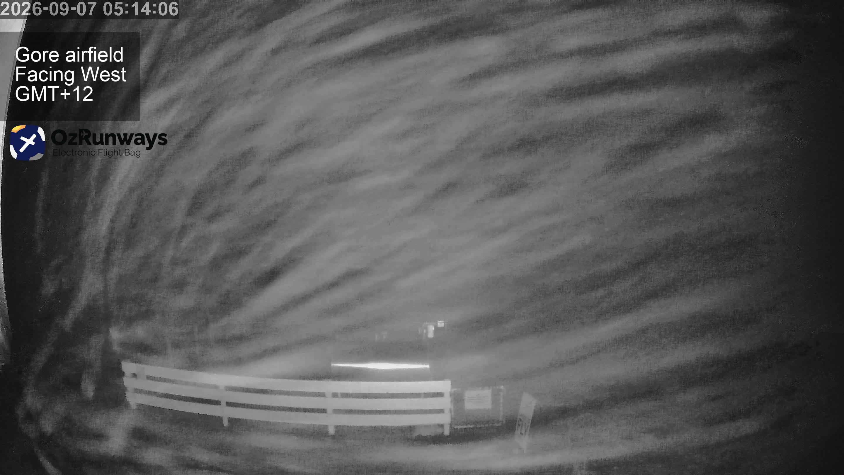
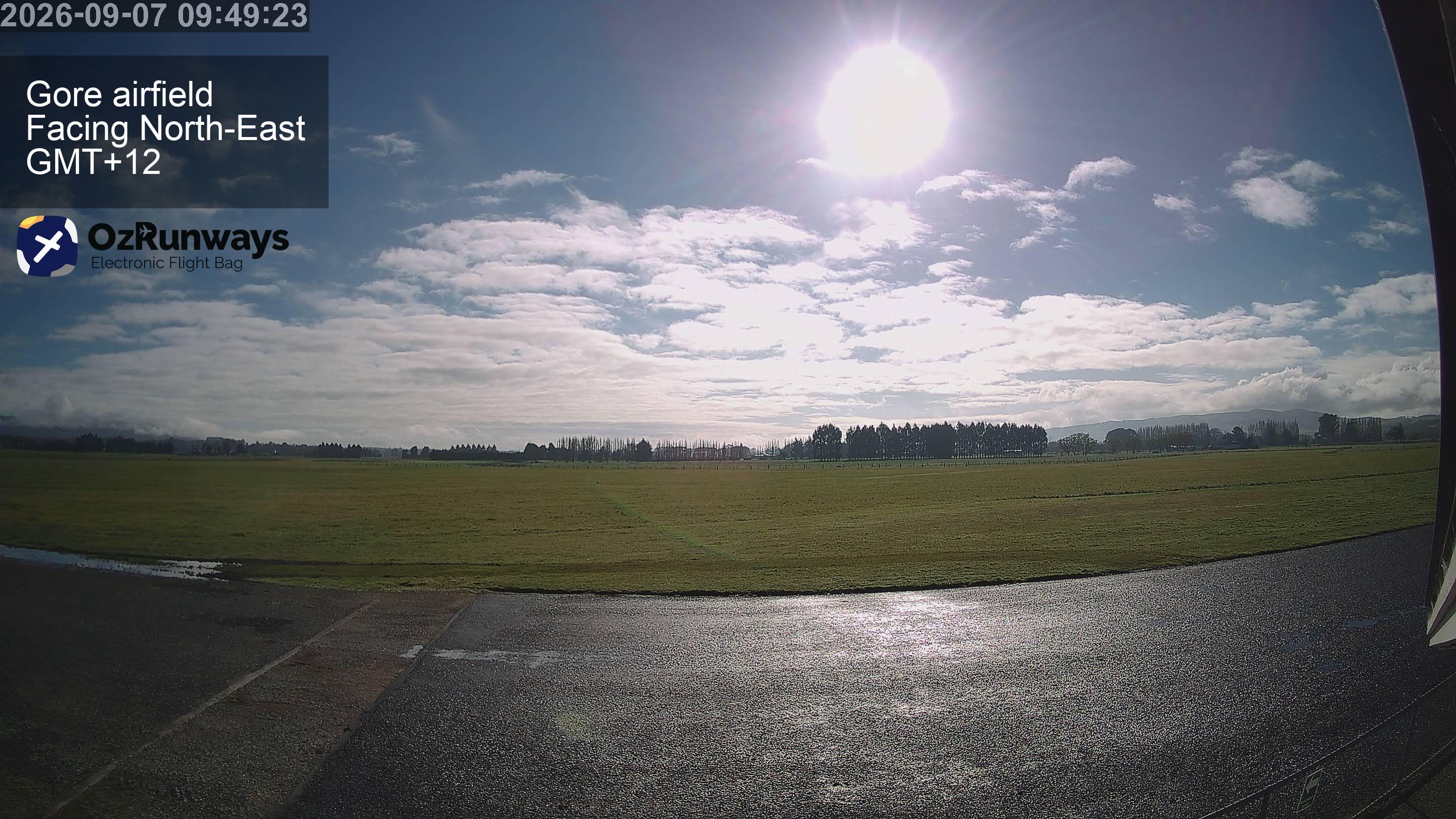
Cidades perto de Landslip Hill
- Invercargilla 72 km