Landslip Hill
342 米1,122 英尺
丘陵 · 新西兰
Landslip Hill is located on the boundary of Southland and Otago, in the South Island of New Zealand, between Tapanui and Pukerau. It is a debris flow feature associated with the Manuherikia Group of fluvial quartz sandstones.
来自Wikipedia,CC BY-SA · 阅读文章
山顶 · 15:00 的预报
13 °C阴 · 西北风 47 km/h
Landslip Hill山顶天气,342 米
- 15:0013 °C西北 47 km/h–
- 18:0012 °C西北 41 km/h0.8 mm
- 21:0010 °C西 34 km/h8 mm
- 0:006 °C西 28 km/h0.5 mm
- 3:005 °C西 28 km/h–
- 6:004 °C西 25 km/h–
- 9:006 °C西 30 km/h1.4 mm
- 12:006 °C西 33 km/h2.3 mm
| 日期 | 天气 | 最高 / 最低 | 雨 | 最大风速 |
|---|---|---|---|---|
| 10月29日周四 | 大雨 | 7 °C / 2 °C | 9.5 mm | 36 km/h |
| 10月30日周五 | 中雨 | 6 °C / 1 °C | 15.3 mm | 42 km/h |
| 10月31日周六 | 阴 | 12 °C / 2 °C | – | 28 km/h |
| 11月1日周日 | 阴 | 15 °C / 7 °C | 0.8 mm | 26 km/h |
| 11月2日周一 | 大雨 | 12 °C / 9 °C | 25.4 mm | 22 km/h |
| 11月3日周二 | 阴 | 9 °C / 7 °C | 1.3 mm | 20 km/h |
| 11月4日周三 | 大雨 | 19 °C / 7 °C | 8.4 mm | 14 km/h |
预报来自 MET Norway(CC BY 4.0),更新于 GMT+13 14:17。时间均为当地时间。
基本信息
Landslip Hill
Landslip Hill is located on the boundary of Southland and Otago, in the South Island of New Zealand, between Tapanui and Pukerau. It is a debris flow feature associated with the Manuherikia Group of fluvial quartz sandstones. Geologists have described the fossil-bearing rocks as forming part of a sequence of "siliclastic fluvial deltaic sands, conglomerates and silty clays".
来自Wikipedia,CC BY-SA · 阅读文章
Landslip Hill附近的山峰
- Mount Pye720 米 · 39 公里外地图上
- Lammerlaw Top山 · 58 公里外地图上
新西兰最高的山
- 庫克山3,724 米地图上
- Mount Tasman3,497 米地图上
- Malte-Brun3,199 米地图上
- 塞夫頓山3,151 米地图上
- Mount Elie De Beaumont3,109 米地图上
- La Perouse3,078 米地图上
- Douglas Peak3,077 米地图上
- The Minarets3,040 米地图上
- 阿斯帕林山3,033 米地图上
- Mount Hamilton3,025 米地图上
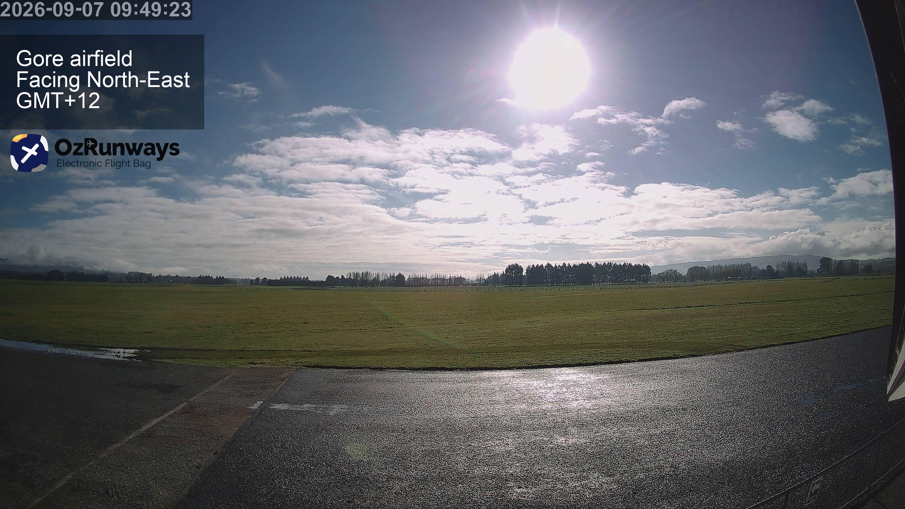
Landslip Hill附近的网络摄像头
Landslip Hill附近的城镇
- 因弗卡吉尔72 公里外