Zeilberg
463 m1519 ft
Montaña · Itz-Baunach hillscape · Alemania
The Zeilberg is a hill, 463 m above NHN, in the Haßberge Nature Park and county of Haßberge in eastern Lower Franconia, about 2 kilometres (1.2 mi) east of Maroldsweisach.
De Wikipedia, CC BY-SA · Leer el artículo
En la cumbre · pronóstico para las 1:00
6 °CNublado · viento de 10 km/h del S
 Verla en 3D
Clima en la cumbre de Zeilberg, 463 m
- 1:006 °CS 10 km/h–
- 4:006 °CSE 9 km/h–
- 7:007 °CS 9 km/h–
- 10:009 °CSE 9 km/h–
- 13:0013 °CSE 9 km/h–
- 16:0012 °CSE 8 km/h–
- 19:008 °CSE 10 km/h–
- 22:007 °CS 11 km/h–
| Día | Cielo | Máx. / mín. | Lluvia | Viento hasta |
|---|---|---|---|---|
| Hoy | Mayormente despejado | 14 °C / 6 °C | – | 12 km/h |
| mié, 28 oct | Mayormente despejado | 12 °C / 3 °C | 0,6 mm | 17 km/h |
| jue, 29 oct | Parcialmente nublado | 10 °C / -0 °C | – | 6 km/h |
| vie, 30 oct | Despejado | 11 °C / 1 °C | – | 8 km/h |
| sáb, 31 oct | Parcialmente nublado | 10 °C / 0 °C | – | 10 km/h |
| dom, 1 nov | Mayormente despejado | 10 °C / -2 °C | – | 6 km/h |
| lun, 2 nov | Mayormente despejado | 9 °C / 3 °C | – | 13 km/h |
Pronóstico de MET Norway (CC BY 4.0), actualizado a las 00:20 CET. Horas locales.
Ficha técnica
- Tipo
- Montaña
- Altitud sobre el nivel del mar
- 463 m (1519 ft)
- Cordillera
- Itz-Baunach hillscape
- País
- Alemania
- Coordenadas
- 50.197°N 10.688°E
- Fuente
- Wikidata, CC0
Zeilberg
The Zeilberg is a hill, 463 m above NHN, in the Haßberge Nature Park and county of Haßberge in eastern Lower Franconia, about 2 kilometres (1.2 mi) east of Maroldsweisach. It is one of the few still recognisable volcanoes of the Heldburger Gangschar and gives its name to the Zeilberge, which are the highest part of the Itz-Baunach Hills that are geologically part of the actual Haßberge to the west, but are separated…
De Wikipedia, CC BY-SA · Leer el artículo
Picos cerca de Zeilberg
- Nassacher Höhe512 m · a 14 kmEn el mapa
- Großer Gleichberg679 m · a 22 kmEn el mapa
- Kleiner Gleichberg641 m · a 25 kmEn el mapa
- Staffelberg539 m · a 27 kmEn el mapa
- Muppberg516 m · a 35 kmEn el mapa
- Reisberg554 m · a 36 kmEn el mapa
- Simmersberg781 m · a 37 kmEn el mapa
- Kordigast538 m · a 38 kmEn el mapa
- Eiersberg349 m · a 38 kmEn el mapa
- Schneeberg692 m · a 41 kmEn el mapa
Montañas más altas de Alemania
- Zugspitze2962 mEn el mapa
- Hochwanner2744 mEn el mapa
- Dreitorspitze2682 mEn el mapa
- Hochkalter2607 mEn el mapa
- Biberkopf2599 mEn el mapa
- Großer Hundstod2594 mEn el mapa
- Hochvogel2592 mEn el mapa
- Östliche Karwendelspitze2538 mEn el mapa
- Hocheisspitze2523 mEn el mapa
- Hoher Göll2522 mEn el mapa
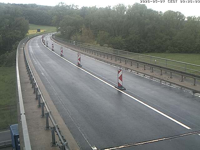
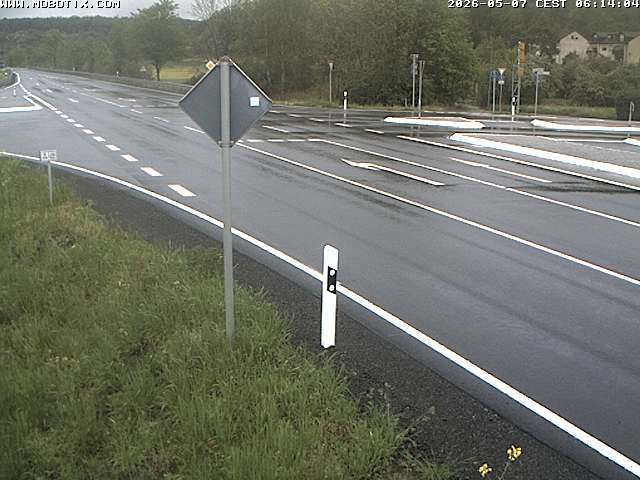
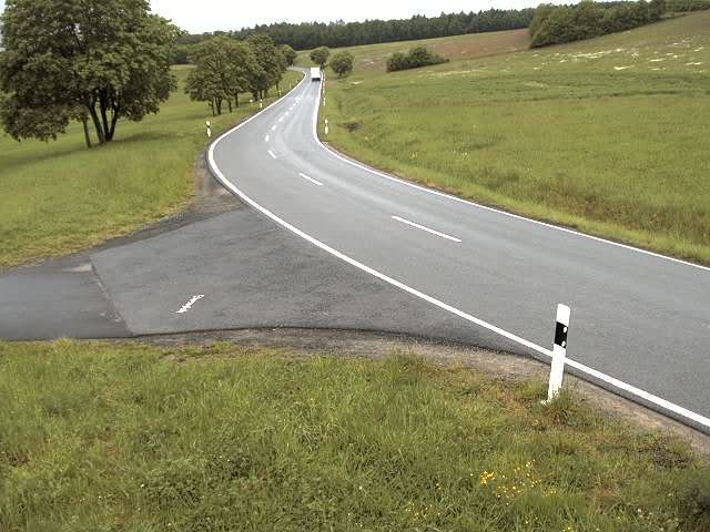
Cámaras web cerca de Zeilberg
Ciudades cerca de Zeilberg
- Coburga 21 km
- Lichtenfelsa 27 km
- Bamberga 36 km
- Bad Neustadt an der Saalea 37 km
- Schweinfurta 37 km
- Sonneberga 39 km