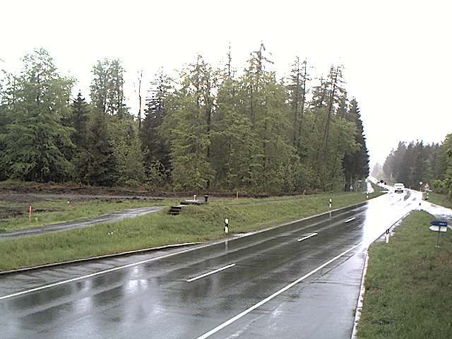
Kulm
482 m1,581 ft
丘 · Saale-Elster-Sandsteinplatte · ドイツ
The Kulm is a hill, 481.9 m above sea level (NHN), near Saalfeld in the German state of Thuringia. It lies east of the Saale valley at the western tip of the Saale 'Knee' and is the local hill of the towns of Saalfeld and Rudolstadt.
出典: Wikipedia、CC BY-SA · 記事を読む
Saale-Elster-Sandsteinplatteの最高地点
山頂 · 1:00 の予報
3 °C快晴 · 西の風 6 km/h
 3D で見る
Kulm 山頂の天気(482 m)
- 1:003 °C西 6 km/h–
- 4:002 °C南西 5 km/h–
- 7:002 °C南西 4 km/h–
- 10:008 °C南 3 km/h–
- 13:0011 °C北 6 km/h–
- 16:0010 °C北 8 km/h–
- 19:006 °C北 4 km/h–
- 22:004 °C南西 2 km/h–
| 日付 | 天気 | 最高 / 最低 | 雨 | 最大風速 |
|---|---|---|---|---|
| 今日 | 曇り | 11 °C / 2 °C | – | 8 km/h |
| 10月30日(金) | 晴れ時々曇り | 11 °C / 3 °C | – | 9 km/h |
| 10月31日(土) | 曇り | 8 °C / 4 °C | 0.3 mm | 12 km/h |
| 11月1日(日) | 曇り | 7 °C / 3 °C | 0.5 mm | 11 km/h |
| 11月2日(月) | 曇り | 5 °C / 1 °C | 0.1 mm | 6 km/h |
| 11月3日(火) | 曇り | 6 °C / 1 °C | 0.3 mm | 9 km/h |
| 11月4日(水) | 曇り | 5 °C / 3 °C | 0.2 mm | 9 km/h |
MET Norway(CC BY 4.0)による予報。20:19 GMT+1 更新。時刻は現地時間です。
基本データ
- 種類
- 丘
- 標高
- 482 m (1,581 ft)
- プロミネンス
- 195 m (640 ft)
- 山脈
- Saale-Elster-Sandsteinplatte
- 国
- ドイツ
- 最高地点となる場所
- Saale-Elster-Sandsteinplatte
- 座標
- 50.683°N 11.369°E
Kulm (Saalfeld)
Hill in Thuringia, Germany
The Kulm is a hill, 481.9 m above sea level (NHN), near Saalfeld in the German state of Thuringia. It lies east of the Saale valley at the western tip of the Saale 'Knee' and is the local hill of the towns of Saalfeld and Rudolstadt. From the Kulm there is a panoramic view over the valleys of the Saale and Rinne, the Orla Basin, the Thuringian Highland and the Ilm-Saale Plateau.
出典: Wikipedia、CC BY-SA · 記事を読む
Kulm周辺の山
- Aßberg703 m · 17 km先地図上
- Walpersberg311 m · 18 km先地図上
- Rauhhügel802 m · 19 km先地図上
- Spitzer Berg790 m · 19 km先地図上
- Mutzenberg770 m · 20 km先地図上
- Hahnberg686 m · 21 km先地図上
- Sauhügel720 m · 21 km先地図上
- Hettstädt808 m · 22 km先地図上
- Mittelberg804 m · 23 km先地図上
- Rückersbiel756 m · 23 km先地図上
Saale-Elster-Sandsteinplatteの最高峰
- Kulm482 m地図上
- Dohlenstein366 m地図上
ドイツの高い山
- ツークシュピッツェ2,962 m地図上
- Hochwanner2,744 m地図上
- Dreitorspitze2,682 m地図上
- ホッホカルター2,607 m地図上
- Biberkopf2,599 m地図上
- Großer Hundstod2,594 m地図上
- Hochvogel2,592 m地図上
- Östliche Karwendelspitze2,538 m地図上
- Hocheisspitze2,523 m地図上
- Hoher Göll2,522 m地図上