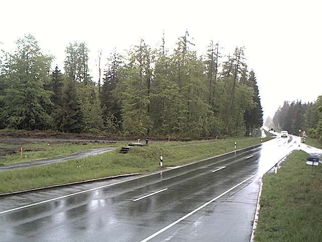
Kulm
482 m1,581 ft
Hill · Saale-Elster-Sandsteinplatte · Germany
The Kulm is a hill, 481.9 m above sea level (NHN), near Saalfeld in the German state of Thuringia. It lies east of the Saale valley at the western tip of the Saale 'Knee' and is the local hill of the towns of Saalfeld and Rudolstadt.
From Wikipedia, CC BY-SA · Read the article
The highest point of Saale-Elster-Sandsteinplatte
At the summit · forecast for 1:00 AM
7 °CClear · wind 12 km/h from the S
 See it in 3D
Weather at the summit of Kulm, 482 m
- 1:00 AM7 °CS 12 km/h–
- 4:00 AM6 °CSW 9 km/h0.2 mm
- 7:00 AM9 °CW 11 km/h0.3 mm
- 10:00 AM9 °CNW 12 km/h–
- 1:00 PM11 °CNW 13 km/h–
- 4:00 PM10 °CNW 11 km/h–
- 7:00 PM6 °CW 8 km/h–
- 10:00 PM4 °CW 5 km/h–
| Day | Sky | High / low | Rain | Wind up to |
|---|---|---|---|---|
| Today | Partly cloudy | 12 °C / 3 °C | 0.5 mm | 13 km/h |
| Thu, Oct 29 | Clear | 12 °C / 1 °C | – | 6 km/h |
| Fri, Oct 30 | Cloudy | 10 °C / 6 °C | 0.1 mm | 9 km/h |
| Sat, Oct 31 | Cloudy | 8 °C / 4 °C | 0.5 mm | 6 km/h |
| Sun, Nov 1 | Cloudy | 8 °C / 6 °C | 0.3 mm | 5 km/h |
| Mon, Nov 2 | Cloudy | 8 °C / 5 °C | 1.8 mm | 13 km/h |
| Tue, Nov 3 | Rain | 7 °C / 3 °C | 2.1 mm | 12 km/h |
Forecast by MET Norway (CC BY 4.0), updated 08:17 PM GMT+1. Times are local.
Facts
- What it is
- Hill
- Height above sea level
- 482 m (1,581 ft)
- Prominence
- 195 m (640 ft)
- Range
- Saale-Elster-Sandsteinplatte
- Country
- Germany
- Highest point of
- Saale-Elster-Sandsteinplatte
- Coordinates
- 50.683°N 11.369°E
- Source
- Wikidata, CC0
Kulm (Saalfeld)
Hill in Thuringia, Germany
The Kulm is a hill, 481.9 m above sea level (NHN), near Saalfeld in the German state of Thuringia. It lies east of the Saale valley at the western tip of the Saale 'Knee' and is the local hill of the towns of Saalfeld and Rudolstadt. From the Kulm there is a panoramic view over the valleys of the Saale and Rinne, the Orla Basin, the Thuringian Highland and the Ilm-Saale Plateau.
From Wikipedia, CC BY-SA · Read the article
Peaks near Kulm
- Aßberg703 m · 17 km awayOn the map
- Walpersberg311 m · 18 km awayOn the map
- Rauhhügel802 m · 19 km awayOn the map
- Spitzer Berg790 m · 19 km awayOn the map
- Mutzenberg770 m · 20 km awayOn the map
- Hahnberg686 m · 21 km awayOn the map
- Sauhügel720 m · 21 km awayOn the map
- Hettstädt808 m · 22 km awayOn the map
- Mittelberg804 m · 23 km awayOn the map
- Rückersbiel756 m · 23 km awayOn the map
Highest in the Saale-Elster-Sandsteinplatte
- Kulm482 mOn the map
- Dohlenstein366 mOn the map
Highest mountains in Germany
- Zugspitze2,962 mOn the map
- Hochwanner2,744 mOn the map
- Dreitorspitze2,682 mOn the map
- Hochkalter2,607 mOn the map
- Biberkopf2,599 mOn the map
- Großer Hundstod2,594 mOn the map
- Hochvogel2,592 mOn the map
- Östliche Karwendelspitze2,538 mOn the map
- Hocheisspitze2,523 mOn the map
- Hoher Göll2,522 mOn the map