Bernhartshöhe
549 m1,801 ft
Mountain · Germany
The Bernhartshöhe is an artificial mountain of 549 m (1,801 ft) in the Stuttgart-Vaihingen Part of Stuttgart, covering the southwesternmost part of the city of Stuttgart, capital of the German Bundesland (state) of Baden-Württemberg. It is the city's highest point of elevation.
From Wikipedia, CC BY-SA · Read the article
At the summit · forecast for 8:00 AM
6 °CClear · wind 10 km/h from the SW
 See it in 3D
Weather at the summit of Bernhartshöhe, 549 m
- 8:00 AM6 °CSW 10 km/h–
- 11:00 AM13 °CS 6 km/h–
- 2:00 PM17 °CS 7 km/h–
- 5:00 PM13 °CN 2 km/h–
- 8:00 PM10 °CSW 10 km/h–
- 11:00 PM9 °CSW 12 km/h–
- 2:00 AM9 °CSW 9 km/h1.2 mm
- 5:00 AM10 °CNW 17 km/h1.6 mm
| Day | Sky | High / low | Rain | Wind up to |
|---|---|---|---|---|
| Today | Clear | 17 °C / 6 °C | – | 12 km/h |
| Wed, Oct 28 | Mostly clear | 11 °C / 5 °C | 2.8 mm | 17 km/h |
| Thu, Oct 29 | Mostly clear | 12 °C / 2 °C | – | 12 km/h |
| Fri, Oct 30 | Clear | 10 °C / 1 °C | – | 10 km/h |
| Sat, Oct 31 | Clear | 9 °C / 1 °C | – | 10 km/h |
| Sun, Nov 1 | Partly cloudy | 8 °C / -0 °C | – | 8 km/h |
| Mon, Nov 2 | Cloudy | 7 °C / 0 °C | – | 10 km/h |
Forecast by MET Norway (CC BY 4.0), updated 06:20 AM GMT+1. Times are local.
Facts
- What it is
- Mountain
- Height above sea level
- 549 m (1,801 ft)
- Country
- Germany
- Coordinates
- 48.729°N 9.065°E
- Source
- Wikidata, CC0
Bernhartshöhe
The Bernhartshöhe is an artificial mountain of 549 m (1,801 ft) in the Stuttgart-Vaihingen Part of Stuttgart, covering the southwesternmost part of the city of Stuttgart, capital of the German Bundesland (state) of Baden-Württemberg. It is the city's highest point of elevation. Bernhartshöhe is directly adjacent to the crossing of the A 8 and A 81 motorways, two crucial traffic arteries of Southern Germany.
From Wikipedia, CC BY-SA · Read the article
Peaks near Bernhartshöhe
- Birkenkopf511 m · 6.4 km awayOn the map
- Grüner Heiner395 m · 12 km awayOn the map
- Württemberg411 m · 16 km awayOn the map
- Jusi673 m · 28 km awayOn the map
- Haselstein448 m · 29 km awayOn the map
- Achalm707 m · 29 km awayOn the map
- Hohenbol602 m · 33 km awayOn the map
- Teckberg775 m · 34 km awayOn the map
- Runder Berg711 m · 35 km awayOn the map
- Roßberg870 m · 35 km awayOn the map
Highest mountains in Germany
- Zugspitze2,962 mOn the map
- Hochwanner2,744 mOn the map
- Dreitorspitze2,682 mOn the map
- Hochkalter2,607 mOn the map
- Biberkopf2,599 mOn the map
- Großer Hundstod2,594 mOn the map
- Hochvogel2,592 mOn the map
- Östliche Karwendelspitze2,538 mOn the map
- Hocheisspitze2,523 mOn the map
- Hoher Göll2,522 mOn the map
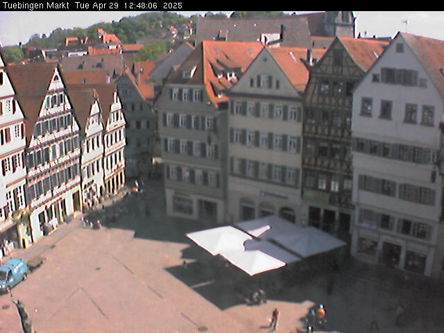
Webcams near Bernhartshöhe



History around Bernhartshöhe
- Blood court at Cannstatt746
- The 1993 World Horticultural Exposition begins in Stuttgart1993
- Battle of Böblingen1525
- Battle of Döffingen1388
- 2020 Stuttgart Riots and Looting2020
- Kongsvinger IL draws with Juventus FC in the 1993–94 UEFA Cup, although Juventus wins over two rounds on aggregate1993
- Eisenbahnunfall von Esslingen1961
- Amokfahrt von Stuttgart und Möglingen1949
Towns near Bernhartshöhe
- Sindelfingen4.8 km away
- Böblingen6.5 km away
- Gerlingen7.9 km away
- Leinfelden-Echterdingen8.5 km away
- Leonberg8.7 km away
- Stuttgart10 km away