Herthaburg
Hill · Germany
Die Herthaburg nahe der Stubbenkammer im Nationalpark Jasmund auf der Insel Rügen ist eine Wallburg aus der Zeit der slawischen Besiedlung Rügens vom 8. bis zum 12. Jahrhundert. Die Anlage wurde auf einem vorhandenen Höhenrücken am nordöstlichen Ufer des Herthasees in der Stubnitz errichtet.
From German Wikipedia, CC BY-SA · Read the article
At the summit · forecast for 1:00 AM
9 °CCloudy · wind 15 km/h from the SW
 See it in 3D
Herthaburg weather forecast
- 1:00 AM9 °CSW 15 km/h–
- 4:00 AM10 °CS 16 km/h–
- 7:00 AM9 °CS 20 km/h–
- 10:00 AM9 °CS 21 km/h–
- 1:00 PM11 °CS 19 km/h–
- 4:00 PM11 °CS 19 km/h–
- 7:00 PM11 °CS 18 km/h–
- 10:00 PM11 °CS 19 km/h–
| Day | Sky | High / low | Rain | Wind up to |
|---|---|---|---|---|
| Today | Cloudy | 11 °C / 9 °C | – | 24 km/h |
| Wed, Oct 28 | Cloudy | 12 °C / 9 °C | – | 20 km/h |
| Thu, Oct 29 | Cloudy | 12 °C / 9 °C | – | 17 km/h |
| Fri, Oct 30 | Cloudy | 11 °C / 10 °C | – | 12 km/h |
| Sat, Oct 31 | Cloudy | 11 °C / 9 °C | – | 10 km/h |
| Sun, Nov 1 | Cloudy | 10 °C / 9 °C | – | 15 km/h |
| Mon, Nov 2 | Partly cloudy | 10 °C / 9 °C | – | 19 km/h |
Forecast by MET Norway (CC BY 4.0), updated 12:30 AM GMT+1. Times are local.
Facts
- What it is
- Hill
- Country
- Germany
- Coordinates
- 54.567°N 13.650°E
- Source
- Wikidata, CC0
Herthaburg
Burg in Mecklenburg-Vorpommern, Deutschland
Die Herthaburg nahe der Stubbenkammer im Nationalpark Jasmund auf der Insel Rügen ist eine Wallburg aus der Zeit der slawischen Besiedlung Rügens vom 8. bis zum 12. Jahrhundert. Die Anlage wurde auf einem vorhandenen Höhenrücken am nordöstlichen Ufer des Herthasees in der Stubnitz errichtet. Die von dem Wall und dem Ufer des Sees eingeschlossene Fläche ist ca.
From German Wikipedia, CC BY-SA · Read the article
Peaks near Herthaburg
- Königsstuhl118 m · 1.1 km awayOn the map
- Piekberg161 m · 2.1 km awayOn the map
- Rugard91 m · 21 km awayOn the map
- Kleiner KönigsstuhlMountain · 4.8 km awayOn the map
- Schlossberg24 m · 14 km awayOn the map
- WaldhalleHill · 20 km awayOn the map
- Baken-Berg66 m · 23 km awayOn the map
- Zickerberg66 m · 30 km awayOn the map
- Lotsenberg36 m · 33 km awayOn the map
- Mühlberg24 m · 50 km awayOn the map
Highest mountains in Germany
- Zugspitze2,962 mOn the map
- Hochwanner2,744 mOn the map
- Dreitorspitze2,682 mOn the map
- Hochkalter2,607 mOn the map
- Biberkopf2,599 mOn the map
- Großer Hundstod2,594 mOn the map
- Hochvogel2,592 mOn the map
- Östliche Karwendelspitze2,538 mOn the map
- Hocheisspitze2,523 mOn the map
- Hoher Göll2,522 mOn the map
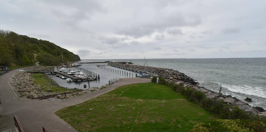
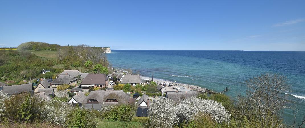
Webcams near Herthaburg


History around Herthaburg
Towns near Herthaburg
- Stralsund47 km away
- Universitäts- und Hansestadt Greifswald55 km away