Facts
- What it is
- Hill
- Country
- Germany
- Coordinates
- 54.383°N 13.667°E
- Source
- Wikidata, CC0
Peaks near Waldhalle
- Rugard91 m · 15 km awayOn the map
- Piekberg161 m · 19 km awayOn the map
- Königsstuhl118 m · 21 km awayOn the map
- Streckelsberg58 m · 43 km awayOn the map
- Baken-Berg66 m · 8.3 km awayOn the map
- Zickerberg66 m · 9.6 km awayOn the map
- Lotsenberg36 m · 13 km awayOn the map
- Schlossberg24 m · 16 km awayOn the map
- Kleiner KönigsstuhlMountain · 20 km awayOn the map
- HerthaburgHill · 20 km awayOn the map
Highest mountains in Germany
- Zugspitze2,962 mOn the map
- Hochwanner2,744 mOn the map
- Dreitorspitze2,682 mOn the map
- Hochkalter2,607 mOn the map
- Biberkopf2,599 mOn the map
- Großer Hundstod2,594 mOn the map
- Hochvogel2,592 mOn the map
- Östliche Karwendelspitze2,538 mOn the map
- Hocheisspitze2,523 mOn the map
- Hoher Göll2,522 mOn the map
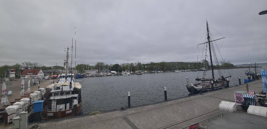
Webcams near Waldhalle


History around Waldhalle
Towns near Waldhalle
- Universitäts- und Hansestadt Greifswald37 km away
- Stralsund39 km away
- Świnoujście65 km away