Hindenburghöhe
2,315 m7,595 ft
Mountain · Ankogel Group · Austria
Die Hindenburghöhe ist die südlichste Spitze eines kurzen Gebirgszuges der Ankogelgruppe. Sie liegt direkt nördlich von Mallnitz und ist einer der Hausberge des Ortes.
From German Wikipedia, CC BY-SA · Read the article
At the summit · forecast for 11:00 AM
2 °CCloudy · wind 5 km/h from the N
 See it in 3D
Weather at the summit of Hindenburghöhe, 2,315 m
- 11:00 AM2 °CN 5 km/h–
- 2:00 PM3 °CN 5 km/h–
- 5:00 PM-1 °CN 3 km/h–
- 8:00 PM-2 °CN 4 km/h–
- 11:00 PM-3 °CN 5 km/h–
- 2:00 AM-3 °CN 6 km/h–
- 5:00 AM-3 °CN 7 km/h–
- 8:00 AM-2 °CN 7 km/h–
| Day | Sky | High / low | Rain | Wind up to |
|---|---|---|---|---|
| Today | Partly cloudy | 3 °C / -3 °C | – | 5 km/h |
| Wed, Oct 28 | Cloudy | 2 °C / -5 °C | 2.8 mm | 10 km/h |
| Thu, Oct 29 | Cloudy | -1 °C / -5 °C | – | 11 km/h |
| Fri, Oct 30 | Clear | 2 °C / -9 °C | – | 3 km/h |
| Sat, Oct 31 | Clear | 3 °C / -8 °C | – | 2 km/h |
| Sun, Nov 1 | Clear | 5 °C / -7 °C | – | 3 km/h |
| Mon, Nov 2 | Mostly clear | -1 °C / -7 °C | – | 11 km/h |
Forecast by MET Norway (CC BY 4.0), updated 02:17 AM GMT+1. Times are local.
Facts
- What it is
- Mountain
- Height above sea level
- 2,315 m (7,595 ft)
- Range
- Ankogel Group
- Country
- Austria
- Coordinates
- 47.010°N 13.157°E
- Source
- Wikidata, CC0
Hindenburghöhe
Berg in der Ankogelgruppe in Kärnten
Die Hindenburghöhe ist die südlichste Spitze eines kurzen Gebirgszuges der Ankogelgruppe. Sie liegt direkt nördlich von Mallnitz und ist einer der Hausberge des Ortes. Kurz nördlich der Hindenburghöhe befindet sich mit der Liesgelespitz die höchste Erhebung des Nebenkamms, die aber von Mallnitz aus durch die Hindenburghöhe verdeckt ist.
From German Wikipedia, CC BY-SA · Read the article
Peaks near Hindenburghöhe
- Ankogel3,252 m · 8.3 km awayOn the map
- Hochalmspitze3,360 m · 13 km awayOn the map
- Hoher Sonnblick3,106 m · 16 km awayOn the map
- Reißeck2,965 m · 17 km awayOn the map
- Hocharn3,254 m · 18 km awayOn the map
- Grosser Hafner3,076 m · 20 km awayOn the map
- Weißeck2,711 m · 25 km awayOn the map
- Petzeck3,283 m · 28 km awayOn the map
- Roter Knopf3,281 m · 32 km awayOn the map
- Fuscherkarkopf3,331 m · 33 km awayOn the map
Highest in the Ankogel Group
- Hochalmspitze3,360 mOn the map
- Ankogel3,252 mOn the map
- Säuleck3,086 mOn the map
- Grosser Hafner3,076 mOn the map
- Tischlerspitze3,002 mOn the map
- Kölnbreinspitze2,934 mOn the map
- Hölltorkogel2,905 mOn the map
- Keeskogel2,884 mOn the map
- Hindenburghöhe2,315 mOn the map
Highest mountains in Austria
- Grossglockner3,798 mOn the map
- Wildspitze3,768 mOn the map
- Weißkugel3,738 mOn the map
- Großvenediger3,657 mOn the map
- Hintere Schwärze3,624 mOn the map
- Großes Wiesbachhorn3,564 mOn the map
- Ramolkogel3,549 mOn the map
- Schalfkogel3,537 mOn the map
- Watzespitze3,532 mOn the map
- Fineilspitze3,514 mOn the map
Webcams near Hindenburghöhe
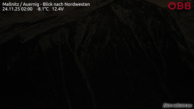 Mallnitz / Auernig - Blick nach Nordwesten3.1 km from the summit
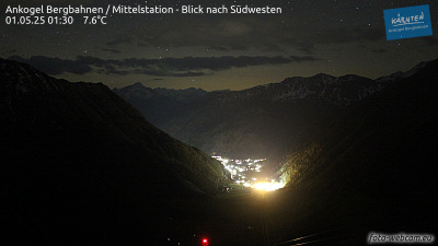 Ankogel Bergbahnen / Mittelstation - Blick nach Südwesten3.2 km from the summit
 Hagener Hütte - Blick nach Südwesten zum Vorderen Geißlkopf5.5 km from the summit
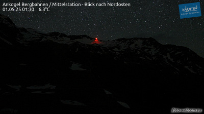 Ankogel Bergbahnen / Bergstation - Blick nach Südosten5.7 km from the summit
History around Hindenburghöhe
Towns near Hindenburghöhe
- Saalfelden am Steinernen Meer52 km away
- Villach69 km away