Mountains in Nepal
Khatang
6,853 m22,484 ft
Mountain · Nepal
Der Khatang ist ein 6853 m vergletscherter Gipfel im Himalaya im Südosten der Gebirgsgruppe Rolwaling Himal.
From German Wikipedia, CC BY-SA · Read the article
At the summit · forecast for 4:45 AM
-28 °CClear · wind 7 km/h from the W
 See it in 3D
Weather at the summit of Khatang, 6,853 m
- 4:45 AM-28 °CW 7 km/h–
- 7:45 AM-22 °CW 6 km/h–
- 10:45 AM-13 °CS 9 km/h–
- 1:45 PM-13 °CS 10 km/h–
- 4:45 PM-16 °CW 3 km/h–
- 7:45 PM-23 °CW 6 km/h–
- 10:45 PM-24 °CW 6 km/h–
- 1:45 AM-25 °CW 8 km/h–
| Day | Sky | High / low | Rain | Wind up to |
|---|---|---|---|---|
| Today | Mostly clear | -13 °C / -28 °C | – | 10 km/h |
| Wed, Oct 28 | Cloudy | -12 °C / -26 °C | – | 10 km/h |
| Thu, Oct 29 | Snow | -13 °C / -21 °C | 30 mm | 9 km/h |
| Fri, Oct 30 | Heavy snow | -15 °C / -16 °C | 109.4 mm | 5 km/h |
| Sat, Oct 31 | Light snow | -13 °C / -24 °C | 8.5 mm | 4 km/h |
| Sun, Nov 1 | Partly cloudy | -14 °C / -25 °C | 4.5 mm | 5 km/h |
| Mon, Nov 2 | Mostly clear | -15 °C / -26 °C | 0.4 mm | 6 km/h |
Forecast by MET Norway (CC BY 4.0), updated 01:01 AM GMT+5:45. Times are local.
Facts
- What it is
- Mountain
- Height above sea level
- 6,853 m (22,484 ft)
- Prominence
- 333 m (1,093 ft)
- Country
- Nepal
- Coordinates
- 27.758°N 86.596°E
- Source
- Wikidata, CC0
Peaks near Khatang
- Numbur6,958 m · 2.3 km awayOn the map
- Kongde Ri6,086 m · 6.1 km awayOn the map
- Parchamo6,273 m · 10 km awayOn the map
- Tengi Ragi Tau6,943 m · 12 km awayOn the map
- Mount Khumbila5,761 m · 15 km awayOn the map
- Takargo6,771 m · 16 km awayOn the map
- Tsoboje6,686 m · 17 km awayOn the map
- Thamserku6,623 m · 19 km awayOn the map
- Kusum Kanguru6,367 m · 19 km awayOn the map
- Pharilapcha6,017 m · 21 km awayOn the map
Peaks below Khatang
- Karyolung6,511 mOn the map
Highest mountains in Nepal
- Mount Everest8,849 mOn the map
- Kanchenjunga8,586 mOn the map
- Lhotse8,516 mOn the map
- Makalu8,485 mOn the map
- Cho Oyu8,188 mOn the map
- Dhaulagiri8,167 mOn the map
- Manaslu8,163 mOn the map
- Annapurna I8,091 mOn the map
- Gyachung Kang7,952 mOn the map
- Annapurna II7,937 mOn the map
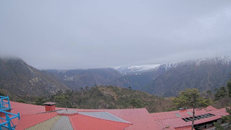
Webcams near Khatang
History around Khatang
Towns near Khatang
- Chari̇̄koṭ54 km away
- Khā̃dbāri̇̄74 km away