Mountains in Austria
Rauchkofel
1,910 m6,266 ft
Mountain · Central Lienz Alps · Austria
Der Rauchkofel ist ein 1910 m ü. A. hoher Berg in Osttirol im Bezirk Lienz, welcher vor den Lienzer Dolomiten über die Stadt Lienz wacht. Er liegt auf der Gemeindegrenze zwischen Amlach und Tristach und gehört zum Gebirge der Gailtaler Alpen.
From German Wikipedia, CC BY-SA · Read the article
At the summit · forecast for 5:00 AM
-1 °CMostly clear · wind 4 km/h from the NW
 See it in 3D
Weather at the summit of Rauchkofel, 1,910 m
- 5:00 AM-1 °CNW 4 km/h–
- 8:00 AM-0 °CNW 7 km/h–
- 11:00 AM4 °CNE 5 km/h–
- 2:00 PM6 °CE 5 km/h–
- 5:00 PM2 °CNE 4 km/h–
- 8:00 PM-1 °CN 4 km/h–
- 11:00 PM-5 °CNW 5 km/h–
- 2:00 AM-5 °CW 5 km/h–
| Day | Sky | High / low | Rain | Wind up to |
|---|---|---|---|---|
| Today | Clear | 6 °C / -5 °C | – | 7 km/h |
| Fri, Oct 30 | Clear | 7 °C / -6 °C | – | 6 km/h |
| Sat, Oct 31 | Clear | 6 °C / -5 °C | 0.1 mm | 8 km/h |
| Sun, Nov 1 | Partly cloudy | 2 °C / -4 °C | 0.3 mm | 9 km/h |
| Mon, Nov 2 | Cloudy | 3 °C / -6 °C | – | 5 km/h |
| Tue, Nov 3 | Mostly clear | 3 °C / -5 °C | 0.9 mm | 6 km/h |
| Wed, Nov 4 | Clear | 4 °C / -4 °C | 1.1 mm | 4 km/h |
Forecast by MET Norway (CC BY 4.0), updated 08:20 PM GMT+1. Times are local.
Facts
- What it is
- Mountain
- Height above sea level
- 1,910 m (6,266 ft)
- Range
- Central Lienz Alps
- Country
- Austria
- Coordinates
- 46.799°N 12.782°E
- Source
- Wikidata, CC0
Peaks near Rauchkofel
- Große Sandspitze2,770 m · 4.3 km awayOn the map
- Petzeck3,283 m · 17 km awayOn the map
- Peralba2,694 m · 19 km awayOn the map
- Monte Chiadenis2,459 m · 20 km awayOn the map
- Coglians2,780 m · 23 km awayOn the map
- Monte Cavallino2,689 m · 24 km awayOn the map
- Hoher Sonnblick3,106 m · 31 km awayOn the map
- Grossglockner3,798 m · 31 km awayOn the map
- Helm2,433 m · 32 km awayOn the map
- Glocknerwand3,721 m · 32 km awayOn the map
Highest in the Central Lienz Alps
- Große Sandspitze2,770 mOn the map
- Spitzkofel2,717 mOn the map
- Hochstadel2,681 mOn the map
- Rauchkofel1,910 mOn the map
Highest mountains in Austria
- Grossglockner3,798 mOn the map
- Wildspitze3,768 mOn the map
- Weißkugel3,738 mOn the map
- Großvenediger3,657 mOn the map
- Hintere Schwärze3,624 mOn the map
- Großes Wiesbachhorn3,564 mOn the map
- Ramolkogel3,549 mOn the map
- Schalfkogel3,537 mOn the map
- Watzespitze3,532 mOn the map
- Fineilspitze3,514 mOn the map
Webcams near Rauchkofel
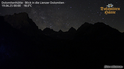 Dolomitenhütte - Blick in die Lienzer Dolomiten1.1 km from the summit
B100, Kreisverkehr Rchtg. Dölsach, Blickrichtung Dölsach3.7 km from the summit
 IR night vision | Kreisverkehr Rchtg. Dölsach B100 km 108.83.7 km from the summit
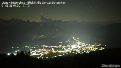 Lienz / Zettersfeld - Blick in die Lienzer Dolomiten7 km from the summit
Towns near Rauchkofel
- Saalfelden am Steinernen Meer70 km away